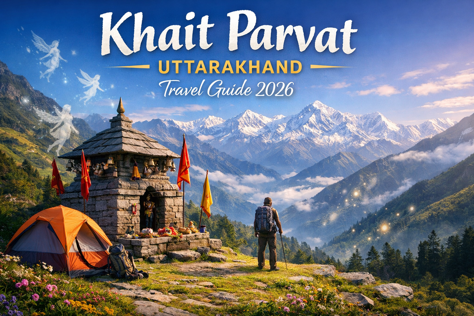
Khait Parvat is located in Tehri Garhwal, Uttarakhand and is famously referred to as the “Land of Fairies”. The mountaintop is around 3200 meters (10,500 feet) and has breathtaking views of the Himalayan Range and its verdant valleys. It’s secluded, spiritual, and beautiful. I think it’s suitable for hiking, camping, photography, spiritual explorations, and all of that kind of thing. If you want a tranquil place where you can escape all the crowds associated with popular hill stations, Khait Parvat is a suitable location. Because of its beauty and mysticism, Khait Parvat has many tales of fairies and other supernatural energies, as well as local myths that enhance its beauty.
This guide gives complete information for first-time visitors, including how to reach the place, trek details, stay options, climate, local culture, nearby attractions, and safety tips, so you don’t need to look elsewhere.
Where Is Khait Parvat Located?
- State/Province: Uttarakhand
- District: Tehri Garhwal
- Closest Town: Ghansali (around 25 km from base villages)
- Base Villages: Musankiri, Bhatwara, Khet
- Altitude: ~3,200 m
- Distance from Summit: 3–5 km trek from base villages
Because of its remote setting and limited accessibility, Khait Parvat remains peaceful and largely unexplored, making it perfect for nature lovers and spiritual seekers.
Khait Parvat Height & Trek Difficulty
- Approximate height: 3,200 meters (10,500 ft)
- Trek difficulty: Easy to Moderate
- Suitable for beginners and solo travelers who can trek easily
- Trail passes through dense forests, across ridges, and alpine meadows
- No technical climbing skills needed
Mythology & Mystery of Khait Parvat
“Land of Fairies” is a name that describes the myths associated with Khait Parvat.
- Some of these myths include the story of Aanchari, the nine divine sisters who watch over and protect this region and its villages.
- Locals say that loud noises, bright colors, or disturbances can anger these fairies, so travelers are traditionally recommended to act respectfully and quietly when they are close to the area.
- At the top of the mountain is the Temple (Maa Khaitwali Devi), which is a holy location and is a place of religious and spiritual significance to the locals.
- The majority of tourists visiting Khait Parvat will often describe experiencing a sense of peacefulness within that region, as well as having experienced numerous flickering lights or other unusual feelings associated with otherworldly phenomena, which contribute to the mythological allure of the mountain.
However, Khait Parvat is more than just a popular trekking location; it is a spiritual, mythical and natural meeting point for all three of these elements and the cherished stories passed down through generations provide an experience of great importance for anyone who regards these tales as sacred in relation to Khait Parvat.
Why Khait Parvat Is Special
- Unspoiled forests with little-known trekking routes.
- A calm, spiritual energy exists at the peak throughout the day.
- Stunning Himalayan views, including Kedarnath, Meru and Draupadi Ka Danda
- Perfect for photography, camping, and exploring nature.
How to Reach Khait Parvat
- By Air: Nearest airport Jolly Grant Airport, Dehradun (distance approx. 130 km)
- By Rail: Nearest railway station Rishikesh (~110 km)
- By Road: If you choose to drive, the route would be the same: Tehri → Ghansali → Base village (Musankiri, Bhatwara, or Khet)
- Final Trek: From the base village to the summit of Khait Parvat, the final trek is approximately 3–5 km uphill
Tip: Hire a local guide or taxi from Ghansali to make travel easier and safer.
Khait Parvat Trek Itinerary (4 Days)
Day 1: Arrival & Acclimatization
- Reach Ghansali via Rishikesh or Dehradun
- Drive to the base village and check into a homestay.
- Explore the village, interact with locals
- Listen to stories and folklore about the Khaitparvat.
Day 2: Trek to Bhawa Bugyal (Meadow Camp)
- Trek around 5 km through forest trails and ridges
- Set up camp at bugyal
- Enjoy the monsoon’s lushness with stunning views
Day 3: Summit Khait Parvat & Return to Camp
- Early morning trek (~3 km to 5 km) towards Mt. Khait Parvat through the forest and ridges.
- Visit Khaitkhal Temple and relax
- Witness sunrise and the first rays of himalayan view
- Return to camp by afternoon
Day 4: Trek Back & Departure
- Hike back to the base village (~5 km)
- Drive from Ghansali on to Dehradun or Rishikesh from there.
Best Time to Visit
- April–June: Best season, wildflower blooms in the forest & pleasant weather.
- September–November: Clear skies and visibility of mountains
- July–August: Not recommend due to heaving rain and landslides
- December–February: Very cold with possible snowfall; the trek will be difficult and risky
Weather Conditions
- Summer: Daytime temperatures is moderate; cool nights
- Monsoon: Rainy season, wet, muddy, slippery path
- Winter: Cold, possibility of snow, trekking is difficult
Stay & Food Options
Base Villages:
- Homestays with a simple roof and wooden acoustic wall, dharamshalas
- Local food: dal-rice, chapati, vegetables
On Trek / Bhawa Bugyal:
- No local shops to buy food or beds, camping only
- Carry tent, sleeping bag, food, and water
Tip: Book homestays in advance during peak season.
Things to Carry
- Good trekking shoes (that have excellent grip)
- Warm clothes, and a raincoat
- Water bottles, dry fruits, energy snacks
- First-aid kit and some basic medicines
- Camping gear if staying overnight
Safety Tips
- Hire a local guide, especially if you new to the place and trekking for the first time
- Avoid trekking after sunset
- Respect local customs and the folklore of the area.
- Inform someone about your trek plan.
- Do not disturb wildlife or forest areas.
Nearby Attractions
- Tehri Lake and Dam: Offers boating and beautiful scenery
- Ghansali Town: Has a local market with many temples
- Surkanda Devi Temple: A famous Shakti Peeth, a temple site for worship, and also a short trek to the temple.
- Devprayag: a holy meeting place of the Alaknanda and Bhagirathi Rivers.
Who Should Visit Khait Parvat
- Beginner and intermediate-level trekkers
- Solo adventurers (a succession occurred with a guide)
- Nature lovers and wildlife enthusiasts
- Spiritual seekers and leisurely hikers
- Anyone seeking a peaceful, alternative mountain experience
Frequently Asked Questions:
1. What is the height of Khait Parvat?
Khait Parvat is approximately 3,200 meters (10,500 ft.) high, which is a good height for great views of the surrounding mountains.
2. Is the Khait Parvat trek difficult?
The Khait Parvat trek is considered an easy-to-moderate hike and can be easily completed by beginner and moderately fit hikers.
3. Do I need permission to hike the Khait Parvat?
You do not need any type of formal permission to hike Khait Parvat, but it is best if you hire a local guide for the safety of you and the group.
4. Is it safe for solo travellers?
Yes, Many solo travelers have successfully completed the hike to Khait Parvat, but you should consider hiring a local guide to help ensure your safety on the challenging and remote parts of the trail.
5. Which village is the starting point of the Khait Parvat Hike?
You can start your hike to Khait Parvat from Musankiri, Bhatwara, and Khet, which all provide access to the different routes into the mountains.